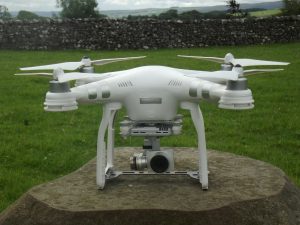
The DJI Phantom range of Small Unmanned Surveillance Aircraft (SUSA) are ideally suited to garden, landscape and building work.
Have you ever wondered what your landscape or building looks like from above, from a birds-eye view, the camera in the sky? We have now invested in innovation and qualifications in the way of drones to see a property, landscape, garden design and construction sites from an aerial perspective. This is a huge leap forward to efficiently and quickly gathering data for larger sites during garden and landscape design work.
With permission from the Civil Aviation Authority (CAA) to use drones (SUSA – small Unmanned Surveillance Aircraft) for many applications, this may be aerial imagery of a house, farm, property or landscape for business or personal use. I can be contacted for more information here.
A view from above has always been of interest but has traditionally relied heavily on land-based surveying or photography from traditional aviation. Advances in technology means aerial imaging is now much easier to acquire and we can take to the skies using Small Unmanned Surveillance Aircraft (drone with a camera fitted) to see an unbiased view of the landscape site or monitor a building project.
Find out more about having drone related work and pricing on your project here. 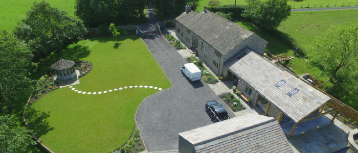
Instant information feedback is the main benefit for using drones, this ability enables a garden or building site to be photographed easily, quickly and efficiently from a potential height of up to 400’ giving incredibly detailed information about a site. 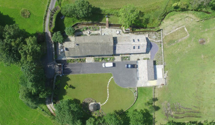
Site photographs looking straight down, as in the above photograph, gives us the ability to be able to sketch or map garden plans and ideas onto computers within minutes of having taken the images – something which was unheard of only a couple of years ago, rather than having to spend hours measuring and making a scale drawing of the site first, although the use of aerial imaging doesn’t remove the need for proper site planning it’s an aid to clarity and speeding up the design process.
Of course, there are restrictions, such as landowner permissions, distances from structures and people and the necessary research and safety forms to be completed before each takeoff and flight.